Cartography Portfolio
 Welcome to my website!
My name is Hanna Steinkamp, I am a Bachelor student at University College Utrecht pursuing a Liberal Arts and Sciences degree with an environmental science and international law major. This website is my online portfolio showing the maps I created with different Geographical Information Systems programs during a two weeks summer course. During the course, thaught by Britta Rickert working at the Copernicus Institute of Sustainable Development, I gained many practical skills in map making and learned how to work with ArcGis Pro, Esri Online and Google Earth Engine.
I am interested in GIS and digital geography because they are good tools for visualizing, analyzing, and interpreting spatial data, and enable us to make more informed decisions. These topics are important because they make it easier to manage natural resources, plan urban developments, and respond to environmental challenges.
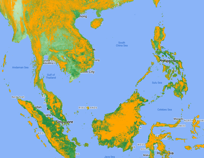
This portfolio is centered around Sustainable Development Goal (SDG) 15, which aims to protect, restore, and promote the sustainable use of terrestrial ecosystems, manage forests sustainably, combat desertification, halt and reverse land degradation, and halt biodiversity loss. SDG 15 is crucial as it addresses the need to preserve our planet's biodiversity and ensure the health of ecosystems that support human life and well-being.
I invite you to explore this portfolio and discover the maps I've created to highlight these important environmental factors!